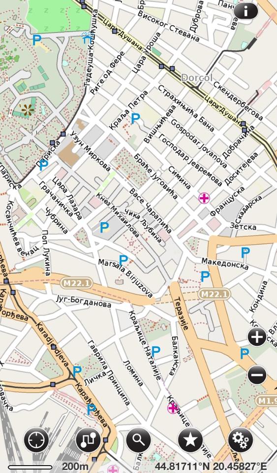
// That was a bit of an excessive title perhaps? Still, here’s my little story of the last couple of days. I’m returning from a weekend trip to Belgrade, Serbia for the Belgrade Design Week and the European Design Awards ceremony. Before flying to Belgrade I checked if I was covered by my GPS/mapping options:
1) Sygic (my main offline GPS app) has no city map for Belgrade
2) Apple Maps also does not have a city map of Belgrade (probably they both have TomTom as their provider)
3) Google Maps does have city maps but of course no real offline support
Basically, three (four if you count TomTom) major global corporations failed in providing what is in 2013 a basic service of presenting you with a map of a major European city. One could argue about the local market being small and not enough need for such maps, but still that wouldn’t solve my problem.
What did solve my problem was a little known app, called Pocket Earth. Easily some of the best 3$ I have spent on software, Pocket Earth succeeded where all of the above failed as it offers maps using Open Street Map. If you haven’t heard about it, Open Street Map is an open data initiative, creating a free to use archive of map data. And since maps are downloaded, it can work offline, e.g. when you are in a foreign country and don’t want roaming charges.
That said, Pocket Earth isn’t just a maps viewer. You can search for addresses and points of interest, make bookmarks, calculated routes when you’re online and save them for offline use, and more.
So thank you open source movement, you saved the day for me this weekend :)
If you feel like me, support the cause, donate to Open Street Map to keep their servers floating :)
Tags: open source, OpenSource, OpenStreetMap


